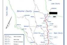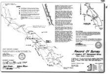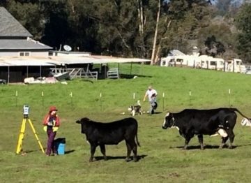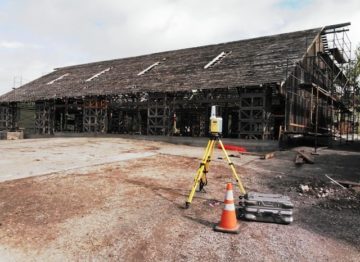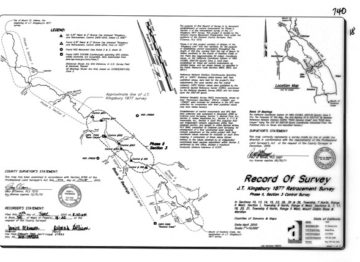
The Sonoma-Napa Line Retracement project was coordinated through the Sonoma County Surveyor’s Office and funded by the Sonoma County Monument Preservation Fund. Adobe Associates, Inc., under project Manager Paul M. Brown, Professional Land Surveyor, PLS, prepared the project definition and plan of execution, scope of services for the establishment of a network of GPS control monuments on California Coordinate Zone 2, and plan for coordination of 18 separate private land surveying firms for execution to re-construct the 1987 survey of the 52 mile county line between Sonoma and Napa Counties. We assisted and completed the process for engaging land surveyors in Sonoma County to retrace the Sonoma/Napa County Line.
The map was recorded June 15, 2010.
Adobe Associates, Inc. Land Surveying department provided the following services:
- Research Maps and Documents
- Survey and Document Preparation
- Project Coordination
- Record Document Research and Review
- Field Reconnaissance
- GPS Data Collection such as Static GPS Sessions for a Control Net
- Data Retrieval and Field Measurements to Existing Monuments
- Post Process of GPS and Design and Process Record of Survey
- The Analysis and Adjustment of Original Line Established in 1877
- Setting Permanent Monuments for Future Retracements
- The Documentation and Preparation of the Required Materials for Filing with the Sonoma County Surveyor’s Office and Recorders Office
Notable Project Features:
The Sonoma County and Napa County Line project was recognized & honored by the Board of Supervisors of Sonoma County.
