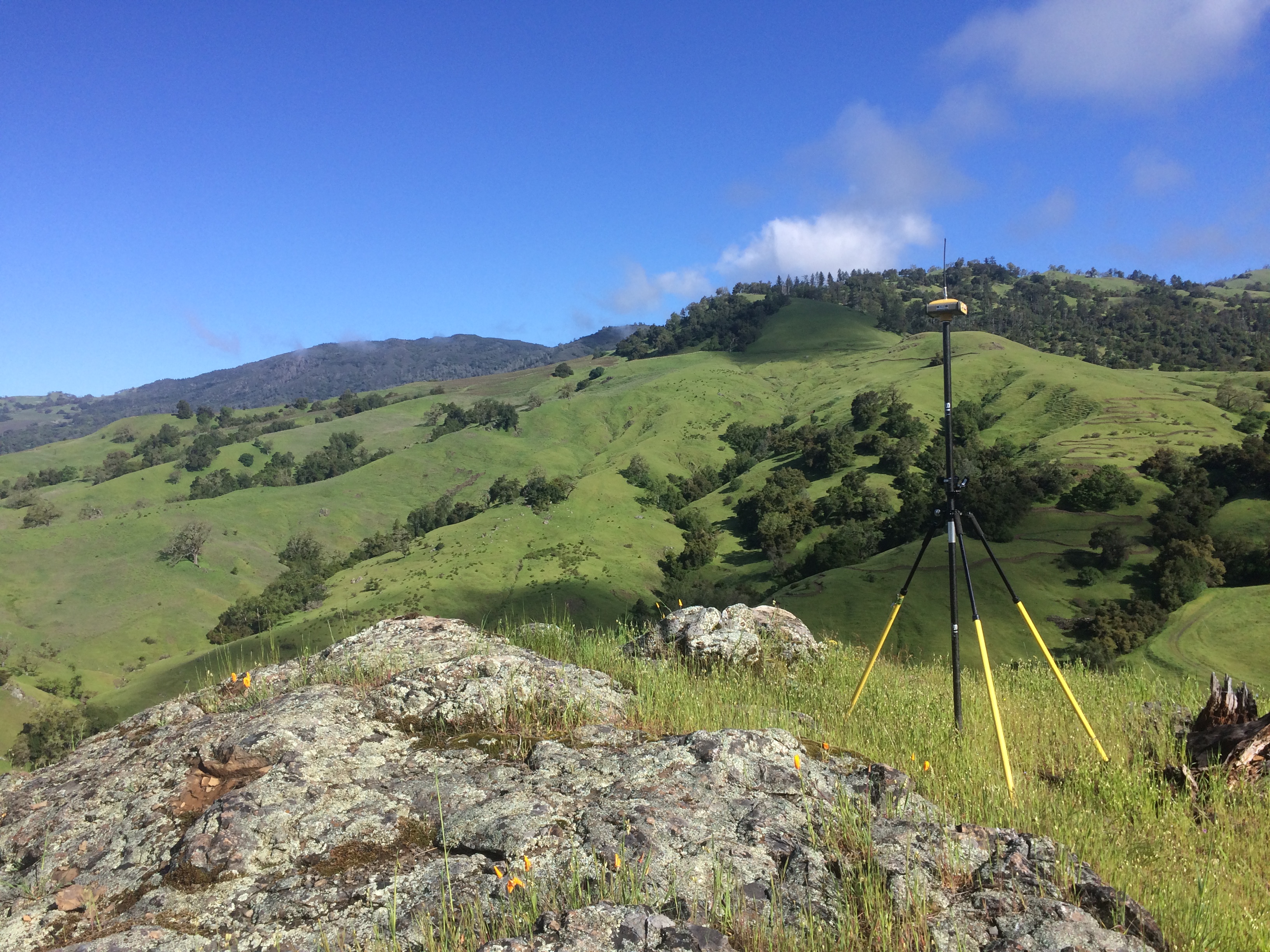
 “As a field surveyor, you go where the project takes you. Some days you are sent to the side of a road to get baked in the sun, and others you are sent to a sloppy job site to pound construction stakes in the mud. Every once in a while the clouds are perfectly white, the breeze is soft and refreshing, the wildflowers are soaking up spring and you get sent to Pine Flat Road.
Today we are running a boundary retracement of sectionalized land along Pine Flat Road. Back in 1874 government surveyors broke this land down into 1-mile square sections by running north-south and east-west lines and setting monuments every half mile along the lines. Our job is to retrace those lines by recovering the monuments set in 1874, but unfortunately, none of the original monuments were found. To retrace the original monuments we must now rely on topographic calls from the original government notes, as well as monuments reset by other surveyors. We recovered 4 reset monuments as well as locate as many topographic calls as possible. The calls include measurements to trees, creek crossings, a point of rock, a face of rock, etc., and it is hard to call it ‘work’ on such a beautiful spring day!”
-Dan Langley, PLS